Locator shots using copyright free material
One of the big problems in creating locator shots is where to get the satellite data without spending thousands of pounds.
Typically for the earth I use NASA's Blue Marble Next Generation satellite data, this is available free at 80k pixels around the whole earth. This gives a resolution of 500 metres per pixel.
What if you need to get closer?
Well, landsat data is also available free from NASA, unfortunately images are only available before 2003 which is when one of the satellites mirrors broke.
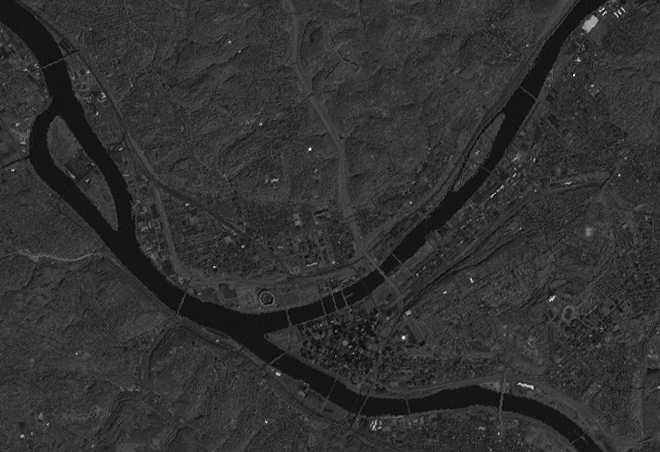
The image below shows a panchromatic sensor view of an area west of London, this is as close as you can get, any closer and you'll have to pay. Colour is provided by using other sensors data available at half of the resolution of the image shown below. These incude visible bands as well as infrared bands, careful compositing of different bands can create a colour match to Blue Marble data allowing for a seamless transition.